Kelsale Methodist Church
Introduction
The photograph on this page of Kelsale Methodist Church by Geographer as part of the Geograph project.
The Geograph project started in 2005 with the aim of publishing, organising and preserving representative images for every square kilometre of Great Britain, Ireland and the Isle of Man.

There are currently over 7.5m images from over 14,400 individuals and you can help contribute to the project by visiting https://www.geograph.org.uk
Kelsale Methodist Church
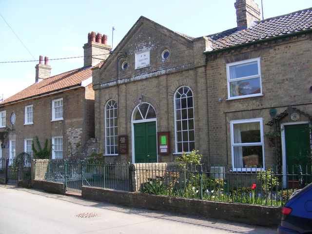
Image: © Geographer Taken: 21 Apr 2009
The Chapel was built in 1851 at a cost of £120.00, this included a cottage for the Minister. In 1871 a meeting room was built onto the rear of the Chapel. In Bridge Street http://www.eamethodist.org.uk/churches.php?Kelsale
Images are licensed for reuse under creativecommons.org/licenses/by-sa/2.0
Image Location
Latitude
52.231087
Longitude
1.496124