New development in the area
Introduction
The photograph on this page of New development in the area by Robert Timms as part of the Geograph project.
The Geograph project started in 2005 with the aim of publishing, organising and preserving representative images for every square kilometre of Great Britain, Ireland and the Isle of Man.

There are currently over 7.5m images from over 14,400 individuals and you can help contribute to the project by visiting https://www.geograph.org.uk
New development in the area
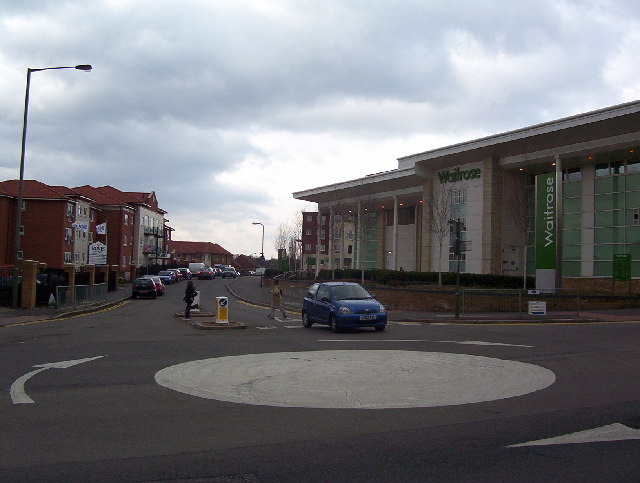
Image: © Robert Timms Taken: 22 Feb 2006
To show that the area is not living in the past, this picture shows the new Waitrose store and the new housing around the store. This picture is very close to the station and the other pictures shown, enhancing a vibrant community.
Images are licensed for reuse under creativecommons.org/licenses/by-sa/2.0
Image Location


Leaflet Map data © OpenStreetMap
Latitude
51.606869
Longitude
-0.209332