Heathland Vegetation by the Inclined Plane
Introduction
The photograph on this page of Heathland Vegetation by the Inclined Plane by Tony Atkin as part of the Geograph project.
The Geograph project started in 2005 with the aim of publishing, organising and preserving representative images for every square kilometre of Great Britain, Ireland and the Isle of Man.

There are currently over 7.5m images from over 14,400 individuals and you can help contribute to the project by visiting https://www.geograph.org.uk
Heathland Vegetation by the Inclined Plane
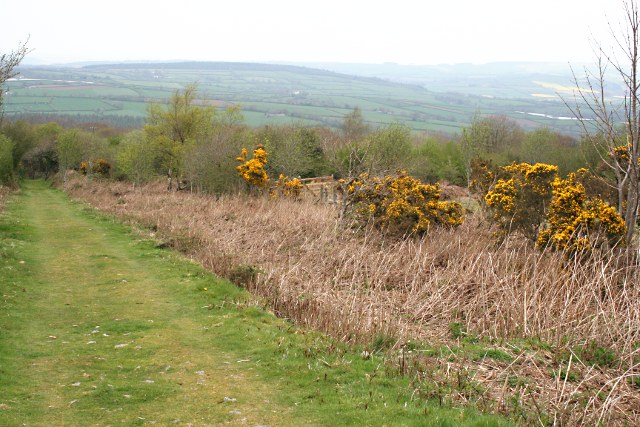
Image: © Tony Atkin Taken: 20 Apr 2009
On the northern slope of Kit Hill looking down the inclined plane which was used to transport granite from the quarry above.
Images are licensed for reuse under creativecommons.org/licenses/by-sa/2.0
Image Location
Latitude
50.527125
Longitude
-4.294565