Whiteford Plantation
Introduction
The photograph on this page of Whiteford Plantation by Tony Atkin as part of the Geograph project.
The Geograph project started in 2005 with the aim of publishing, organising and preserving representative images for every square kilometre of Great Britain, Ireland and the Isle of Man.

There are currently over 7.5m images from over 14,400 individuals and you can help contribute to the project by visiting https://www.geograph.org.uk
Whiteford Plantation
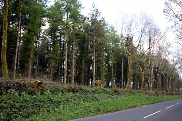
Image: © Tony Atkin Taken: 20 Apr 2009
The woods of Whiteford and Holmbush plantations line the western side of the road between Kelly Bray and Stoke Climsland.
Images are licensed for reuse under creativecommons.org/licenses/by-sa/2.0
Image Location


Leaflet Map data © OpenStreetMap
Latitude
50.531541
Longitude
-4.316793