Outskirts of Slough
Introduction
The photograph on this page of Outskirts of Slough by David Hawgood as part of the Geograph project.
The Geograph project started in 2005 with the aim of publishing, organising and preserving representative images for every square kilometre of Great Britain, Ireland and the Isle of Man.

There are currently over 7.5m images from over 14,400 individuals and you can help contribute to the project by visiting https://www.geograph.org.uk
Outskirts of Slough
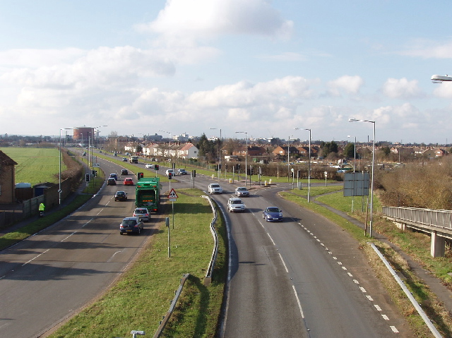
Image: © David Hawgood Taken: 21 Feb 2006
From a footbridge over the A412 Uxbridge Road, looking south-west to Upton Lea and Slough. The crash barrier in the middle of the dual carriageway looks as if it has done its job and been bent in stopping a vehicle crossing.
Images are licensed for reuse under creativecommons.org/licenses/by-sa/2.0
Image Location
Latitude
51.520929
Longitude
-0.564407