That's Potters Bar, Over There!
Introduction
The photograph on this page of That's Potters Bar, Over There! by Martin Addison as part of the Geograph project.
The Geograph project started in 2005 with the aim of publishing, organising and preserving representative images for every square kilometre of Great Britain, Ireland and the Isle of Man.

There are currently over 7.5m images from over 14,400 individuals and you can help contribute to the project by visiting https://www.geograph.org.uk
That's Potters Bar, Over There!
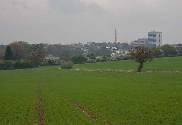
Image: © Martin Addison Taken: 14 Apr 2009
View from the footpath between Bentley Heath Lane and Baker Street. The Canada Life building is visible on the horizon along with the mobile phone mast in Tesco's car park. A new crop of Wheat is growing in the field. The footpath here follows a slightly different route to that shown on the 1/50000th OS map, but is clearly marked by the farmer.
Images are licensed for reuse under creativecommons.org/licenses/by-sa/2.0
Image Location
Latitude
51.68785
Longitude
-0.194998