Churchyard, St Firmin's
Introduction
The photograph on this page of Churchyard, St Firmin's by mick finn as part of the Geograph project.
The Geograph project started in 2005 with the aim of publishing, organising and preserving representative images for every square kilometre of Great Britain, Ireland and the Isle of Man.

There are currently over 7.5m images from over 14,400 individuals and you can help contribute to the project by visiting https://www.geograph.org.uk
Churchyard, St Firmin's
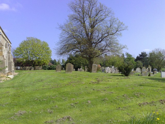
Image: © mick finn Taken: 19 Apr 2009
Well-tended churchyard to the south of the parish church at North Crawley.
Images are licensed for reuse under creativecommons.org/licenses/by-sa/2.0
Image Location
Latitude
52.092072
Longitude
-0.647453