Borehamwood: Tykes Water and Brook Meadow
Introduction
The photograph on this page of Borehamwood: Tykes Water and Brook Meadow by Nigel Cox as part of the Geograph project.
The Geograph project started in 2005 with the aim of publishing, organising and preserving representative images for every square kilometre of Great Britain, Ireland and the Isle of Man.

There are currently over 7.5m images from over 14,400 individuals and you can help contribute to the project by visiting https://www.geograph.org.uk
Borehamwood: Tykes Water and Brook Meadow
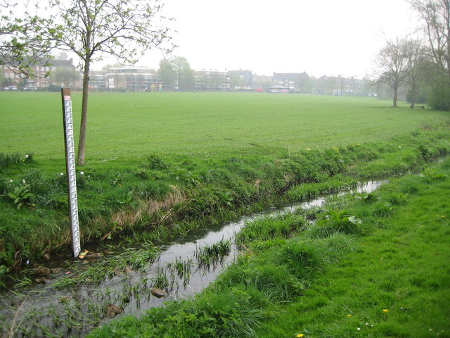
Image: © Nigel Cox Taken: 15 Apr 2009
Since I was last here in December 2005 Image the Environment Agency have established a water level monitoring sensor on Tykes Water, and the gaugeboard on the left is part of these arrangements. The top of the graduations is at 80.6 metres above sea level. The watercourse is also known as Borehamwood Brook. The photograph was taken looking across Brook Meadow on a damp misty April morning.
Images are licensed for reuse under creativecommons.org/licenses/by-sa/2.0
Image Location
Latitude
51.668548
Longitude
-0.28716