Lubbock House
Introduction
The photograph on this page of Lubbock House by Ian Capper as part of the Geograph project.
The Geograph project started in 2005 with the aim of publishing, organising and preserving representative images for every square kilometre of Great Britain, Ireland and the Isle of Man.

There are currently over 7.5m images from over 14,400 individuals and you can help contribute to the project by visiting https://www.geograph.org.uk
Lubbock House
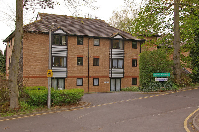
Image: © Ian Capper Taken: 14 Apr 2009
In the 1870s 5 large houses were built on the north side of Tubbenden Lane to the south of Orpington Station, the largest and easternmost being called Sherlies with the others being (from east to west) Northolme, The Alchornes, Fernbank and Sunnyside. All these other four are shown in the 1881 census with the name "Sherlies" next to the house name, suggesting that they were all part of the same original plot, subdivided for building purposes. All the houses have since been demolished, at different times, with their sites developed for housing. Lubbock House was built in 1989 as a Care Home. A picture of an older Lubbock House is shown in the 1961 Orpington Town Guide, with some newer side extensions, giving the appearance of some type of institution. The position of the driveway would suggest that this is the house originally called The Alchornes, the implication being that it had been renamed as Lubbock House for use as a care home, but subsequently demolished with a new care home built on part of the site. Newer housing at the top of Northolme Rise, of a different style to the rest of that road, would suggest that part of the site was sold off at the same time, perhaps to fund part of the new home. Lubbock is a well known local name, the family country seat for many years being High Elms, a few miles south of Orpington. Eric Lubbock, 4th Baron Avebury, was the winner of the 1962 by election in Orpington for the Liberals, still thought of as one of the most sensational by election victories. He remained the local MP until 1970. With thanks to local resident Calvin Wickham for help with the research into the history of Sherlies and its neighbours.
Images are licensed for reuse under creativecommons.org/licenses/by-sa/2.0
Image Location
Latitude
51.370054
Longitude
0.085193