Lapwing Way
Introduction
The photograph on this page of Lapwing Way by Peter Facey as part of the Geograph project.
The Geograph project started in 2005 with the aim of publishing, organising and preserving representative images for every square kilometre of Great Britain, Ireland and the Isle of Man.

There are currently over 7.5m images from over 14,400 individuals and you can help contribute to the project by visiting https://www.geograph.org.uk
Lapwing Way
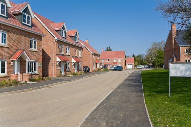
Image: © Peter Facey Taken: 19 Apr 2009
This is part of the Meadow Brook housing development by Barratt Homes, see http://www.barratthomes.co.uk/ . (coordinates estimated due to lack of OS mapping)
Images are licensed for reuse under creativecommons.org/licenses/by-sa/2.0
Image Location
Latitude
51.106891
Longitude
-1.056651