Borehamwood: Church of St Michael & All Angels
Introduction
The photograph on this page of Borehamwood: Church of St Michael & All Angels by Nigel Cox as part of the Geograph project.
The Geograph project started in 2005 with the aim of publishing, organising and preserving representative images for every square kilometre of Great Britain, Ireland and the Isle of Man.

There are currently over 7.5m images from over 14,400 individuals and you can help contribute to the project by visiting https://www.geograph.org.uk
Borehamwood: Church of St Michael & All Angels
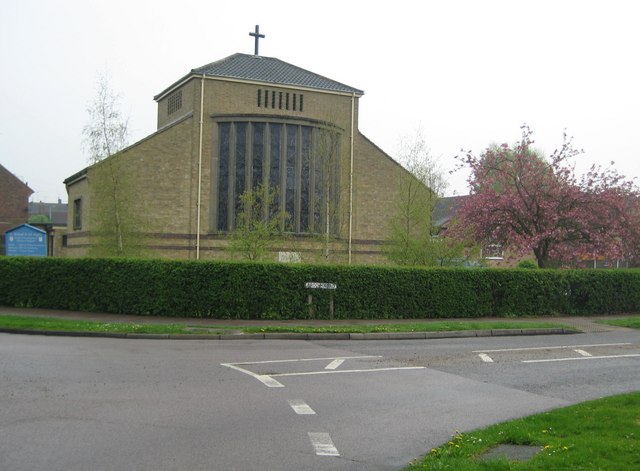
Image: © Nigel Cox Taken: 15 Apr 2009
The foundation stone for the church, which is in Brook Road, was laid by Princess Margaret in October 1954, and the church was completed and consecrated in December 1955. (NB From a mapping point of view the church's location on the Ordnance Survey's 1:50,000 scale map, as shown with a cross, is a little misplaced.)
Images are licensed for reuse under creativecommons.org/licenses/by-sa/2.0
Image Location
Latitude
51.665926
Longitude
-0.280028