Blackdown Hills at Wheatlands Coppice
Introduction
The photograph on this page of Blackdown Hills at Wheatlands Coppice by Derek Harper as part of the Geograph project.
The Geograph project started in 2005 with the aim of publishing, organising and preserving representative images for every square kilometre of Great Britain, Ireland and the Isle of Man.

There are currently over 7.5m images from over 14,400 individuals and you can help contribute to the project by visiting https://www.geograph.org.uk
Blackdown Hills at Wheatlands Coppice
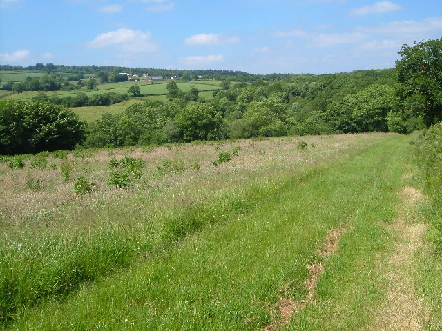
Image: © Derek Harper Taken: 18 Jun 2005
Looking north-north-west from the bridleway from Buckland St Mary to Blindmoor, with Wheatlands Coppice ahead right, the hamlet of Blackwater and the summit ridge of the Blackdown Hills in the distance.
Images are licensed for reuse under creativecommons.org/licenses/by-sa/2.0
Image Location
Latitude
50.926178
Longitude
-3.044311