Red Road
Introduction
The photograph on this page of Red Road by Lairich Rig as part of the Geograph project.
The Geograph project started in 2005 with the aim of publishing, organising and preserving representative images for every square kilometre of Great Britain, Ireland and the Isle of Man.

There are currently over 7.5m images from over 14,400 individuals and you can help contribute to the project by visiting https://www.geograph.org.uk
Red Road
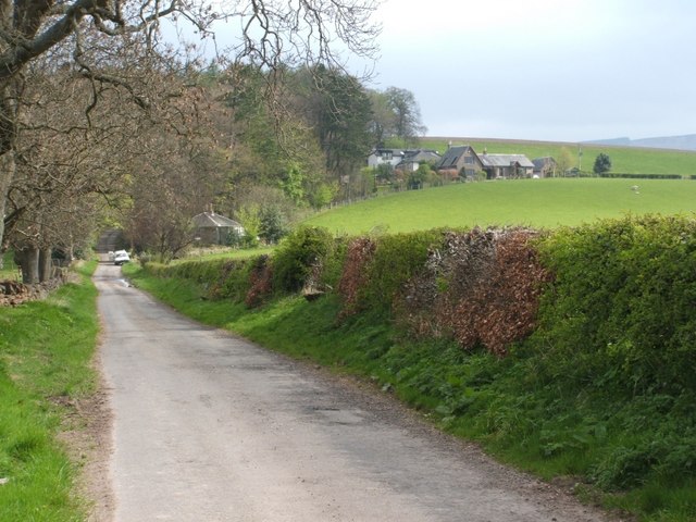
Image: © Lairich Rig Taken: 17 Apr 2009
The building nearest the road is West Lodge. To the right is Knowehead, with East Lodge behind it. See also Image and Image
Images are licensed for reuse under creativecommons.org/licenses/by-sa/2.0
Image Location
Latitude
55.977995
Longitude
-4.673837