Eastworth, former railway line
Introduction
The photograph on this page of Eastworth, former railway line by Mike Faherty as part of the Geograph project.
The Geograph project started in 2005 with the aim of publishing, organising and preserving representative images for every square kilometre of Great Britain, Ireland and the Isle of Man.

There are currently over 7.5m images from over 14,400 individuals and you can help contribute to the project by visiting https://www.geograph.org.uk
Eastworth, former railway line
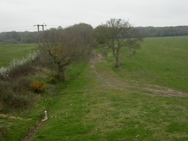
Image: © Mike Faherty Taken: 18 Apr 2009
Trackbed of the old Salisbury to Dorchester railway, closed 1964; as seen from Image http://history.verwood.org/verwood_station.htm
Images are licensed for reuse under creativecommons.org/licenses/by-sa/2.0
Image Location
Latitude
50.88835
Longitude
-1.884793