Cattedown Road
Introduction
The photograph on this page of Cattedown Road by Annette Leech as part of the Geograph project.
The Geograph project started in 2005 with the aim of publishing, organising and preserving representative images for every square kilometre of Great Britain, Ireland and the Isle of Man.

There are currently over 7.5m images from over 14,400 individuals and you can help contribute to the project by visiting https://www.geograph.org.uk
Cattedown Road
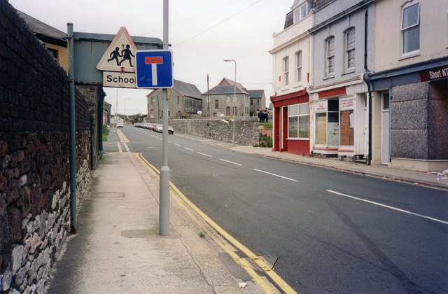
Image: © Annette Leech Taken: Unknown
Looking toward the Embankment. The red painted shop on the right used to be a Co-op butcher's shop at no.33.
Images are licensed for reuse under creativecommons.org/licenses/by-sa/2.0
Image Location
Latitude
50.3692
Longitude
-4.123244