High hedged lanes
Introduction
The photograph on this page of High hedged lanes by Dot Potter as part of the Geograph project.
The Geograph project started in 2005 with the aim of publishing, organising and preserving representative images for every square kilometre of Great Britain, Ireland and the Isle of Man.

There are currently over 7.5m images from over 14,400 individuals and you can help contribute to the project by visiting https://www.geograph.org.uk
High hedged lanes
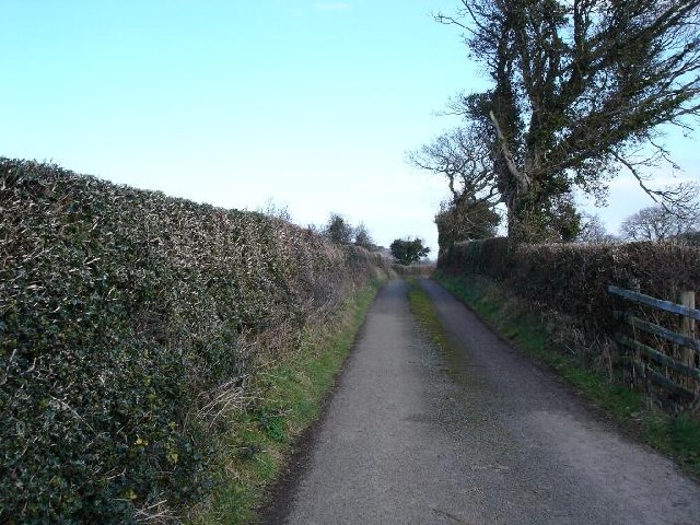
Image: © Dot Potter Taken: 20 Feb 2006
To the south of Abergele, one of the many single track lanes bordered by high hedges that criss cross the area
Images are licensed for reuse under creativecommons.org/licenses/by-sa/2.0
Image Location
Latitude
53.25658
Longitude
-3.61288