Old wall at Brog Street
Introduction
The photograph on this page of Old wall at Brog Street by John Palmer as part of the Geograph project.
The Geograph project started in 2005 with the aim of publishing, organising and preserving representative images for every square kilometre of Great Britain, Ireland and the Isle of Man.

There are currently over 7.5m images from over 14,400 individuals and you can help contribute to the project by visiting https://www.geograph.org.uk
Old wall at Brog Street
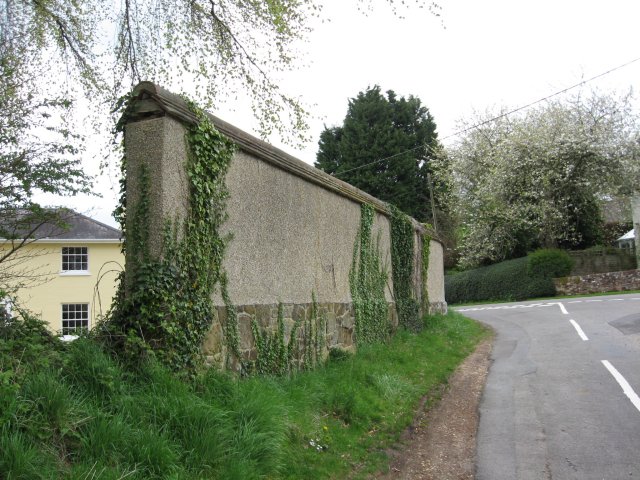
Image: © John Palmer Taken: 16 Apr 2009
The high cob wall on the west side of the triangle at Brog Street once formed part of a range of thatched barns, and has green sandstone rubble footings. The wall is now capped with tile and ridge tile capping, and forms part of the Brog Street Conservation Area.
Images are licensed for reuse under creativecommons.org/licenses/by-sa/2.0
Image Location
Latitude
50.783012
Longitude
-2.024488