The winding road separating Capel Libanus and Eglwys Mechell Sant
Introduction
The photograph on this page of The winding road separating Capel Libanus and Eglwys Mechell Sant by Eric Jones as part of the Geograph project.
The Geograph project started in 2005 with the aim of publishing, organising and preserving representative images for every square kilometre of Great Britain, Ireland and the Isle of Man.

There are currently over 7.5m images from over 14,400 individuals and you can help contribute to the project by visiting https://www.geograph.org.uk
The winding road separating Capel Libanus and Eglwys Mechell Sant
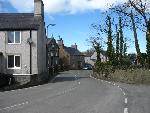
Image: © Eric Jones Taken: 11 Apr 2009
Here the two old rivals, the once established church and its erstwhile fierce opponent, the Calvinistic chapel face each other across the main village street. Up to the disestablishment of the Anglican Church in Wales and its reconstitution as The Church in Wales in 1920 Nonconformists and Anglicans were often bitter enemies. http://www.bbc.co.uk/wales/religion/sites/timeline/pages/religion_in_wales_12.shtml
Images are licensed for reuse under creativecommons.org/licenses/by-sa/2.0
Image Location
Latitude
53.392647
Longitude
-4.453941