Axminster cemetery
Introduction
The photograph on this page of Axminster cemetery by Peter Holmes as part of the Geograph project.
The Geograph project started in 2005 with the aim of publishing, organising and preserving representative images for every square kilometre of Great Britain, Ireland and the Isle of Man.

There are currently over 7.5m images from over 14,400 individuals and you can help contribute to the project by visiting https://www.geograph.org.uk
Axminster cemetery
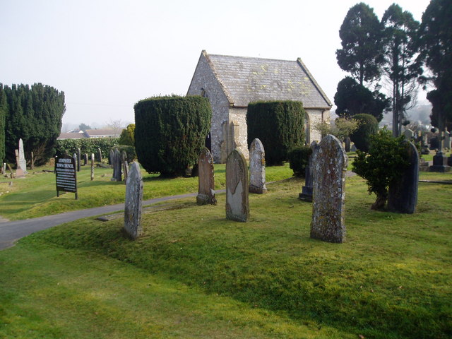
Image: © Peter Holmes Taken: 18 Mar 2009
This cemetery is about half a mile from the ancient churchyard of Axminster which closed in 1855.
Images are licensed for reuse under creativecommons.org/licenses/by-sa/2.0
Image Location
Latitude
50.787187
Longitude
-2.988437