River Arun
Introduction
The photograph on this page of River Arun by Simon Carey as part of the Geograph project.
The Geograph project started in 2005 with the aim of publishing, organising and preserving representative images for every square kilometre of Great Britain, Ireland and the Isle of Man.

There are currently over 7.5m images from over 14,400 individuals and you can help contribute to the project by visiting https://www.geograph.org.uk
River Arun
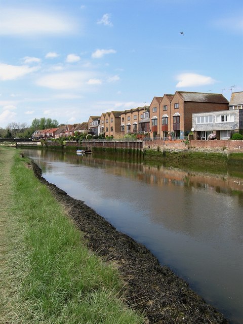
Image: © Simon Carey Taken: 13 Apr 2009
Looking at the recent developments on the former quays on the north side of the river. Taken from a right of way that follows the southern bank from Fitzalan Road to Arundel Bridge.
Images are licensed for reuse under creativecommons.org/licenses/by-sa/2.0
Image Location
Latitude
50.852348
Longitude
-0.55832