Chichester Road
Introduction
The photograph on this page of Chichester Road by Simon Carey as part of the Geograph project.
The Geograph project started in 2005 with the aim of publishing, organising and preserving representative images for every square kilometre of Great Britain, Ireland and the Isle of Man.

There are currently over 7.5m images from over 14,400 individuals and you can help contribute to the project by visiting https://www.geograph.org.uk
Chichester Road
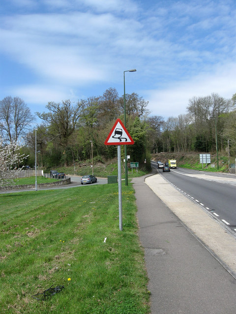
Image: © Simon Carey Taken: 13 Apr 2009
The main A27 leaves Arundel on the right travelling through a cutting excavated in the early 19th century to allow a better gradient for coaches. Another plan in the latter half of that century to improve the gradient again involved excavating a cutting on the left, however, whilst the work was down the main road wasn't moved and subsequently the new cutting became Torton Hill Road and Canada Road.
Images are licensed for reuse under creativecommons.org/licenses/by-sa/2.0
Image Location
Latitude
50.852673
Longitude
-0.562856