Arundel By-Pass Bridge
Introduction
The photograph on this page of Arundel By-Pass Bridge by Simon Carey as part of the Geograph project.
The Geograph project started in 2005 with the aim of publishing, organising and preserving representative images for every square kilometre of Great Britain, Ireland and the Isle of Man.

There are currently over 7.5m images from over 14,400 individuals and you can help contribute to the project by visiting https://www.geograph.org.uk
Arundel By-Pass Bridge
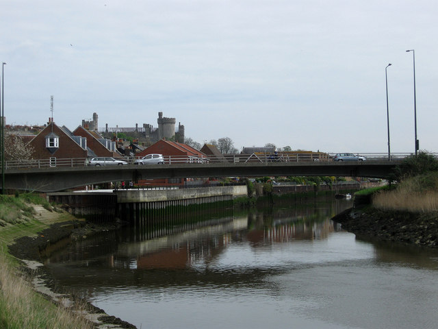
Image: © Simon Carey Taken: 13 Apr 2009
Built in 1973 with the town's by-pass which has now become inadequate and needs replacing with another by-pass. Beyond the bridge are the former town quays.
Images are licensed for reuse under creativecommons.org/licenses/by-sa/2.0
Image Location


Leaflet Map data © OpenStreetMap
Latitude
50.851653
Longitude
-0.560331