Fisherwood Pumping Station
Introduction
The photograph on this page of Fisherwood Pumping Station by Lairich Rig as part of the Geograph project.
The Geograph project started in 2005 with the aim of publishing, organising and preserving representative images for every square kilometre of Great Britain, Ireland and the Isle of Man.

There are currently over 7.5m images from over 14,400 individuals and you can help contribute to the project by visiting https://www.geograph.org.uk
Fisherwood Pumping Station
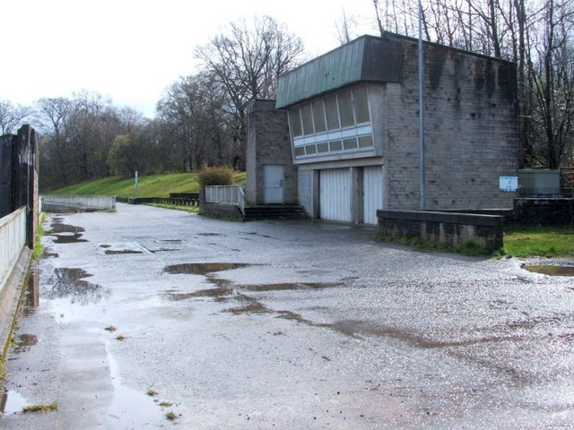
Image: © Lairich Rig Taken: 27 Mar 2009
The pumping station, shown from a different angle in Image, is located at the western side of a barrage across the River Leven: http://www.geograph.org.uk/photo/972918 Just to the north are the buildings of Image and of the Image The wooded slopes behind and to the right of the pumping station are Boathouse Wood (on the far side of the pumping station), and Fishers Wood (on the near side). The short stretch of road shown in the image is shared with NCN Cycle Route 7, and provides access to the buildings mentioned above and to the many boats that are moored in the river near this point. At roughly the point where the green slope in the background comes to an end, the road turns aside from the River Leven and leads into Rosshead.
Images are licensed for reuse under creativecommons.org/licenses/by-sa/2.0
Image Location
Latitude
55.998887
Longitude
-4.579206