Irvine New Town Trail
Introduction
The photograph on this page of Irvine New Town Trail by Chris Court as part of the Geograph project.
The Geograph project started in 2005 with the aim of publishing, organising and preserving representative images for every square kilometre of Great Britain, Ireland and the Isle of Man.

There are currently over 7.5m images from over 14,400 individuals and you can help contribute to the project by visiting https://www.geograph.org.uk
Irvine New Town Trail
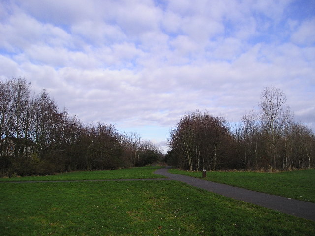
Image: © Chris Court Taken: 18 Feb 2006
The Irvine New Town Trail is a 12 mile circular walk, in part following national cycle routes, that links the town of Irvine with Kilwinning and Eglinton Country Park.
Images are licensed for reuse under creativecommons.org/licenses/by-sa/2.0
Image Location


Leaflet Map data © OpenStreetMap
Latitude
55.623536
Longitude
-4.62994