View over Fron Hen farm
Introduction
The photograph on this page of View over Fron Hen farm by John S Turner as part of the Geograph project.
The Geograph project started in 2005 with the aim of publishing, organising and preserving representative images for every square kilometre of Great Britain, Ireland and the Isle of Man.

There are currently over 7.5m images from over 14,400 individuals and you can help contribute to the project by visiting https://www.geograph.org.uk
View over Fron Hen farm
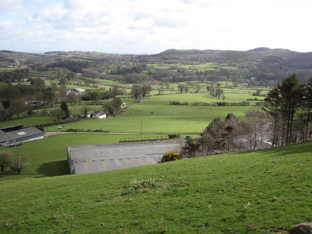
Image: © John S Turner Taken: 8 Apr 2009
The view from the bridleway around Fron Hen across the Afon Alun valley. From this distance the main road between Mold and Ruthin is almost lost in the landscape.
Images are licensed for reuse under creativecommons.org/licenses/by-sa/2.0
Image Location
Latitude
53.139293
Longitude
-3.225766