The Straight Mile
Introduction
The photograph on this page of The Straight Mile by Bob Shires as part of the Geograph project.
The Geograph project started in 2005 with the aim of publishing, organising and preserving representative images for every square kilometre of Great Britain, Ireland and the Isle of Man.

There are currently over 7.5m images from over 14,400 individuals and you can help contribute to the project by visiting https://www.geograph.org.uk
The Straight Mile
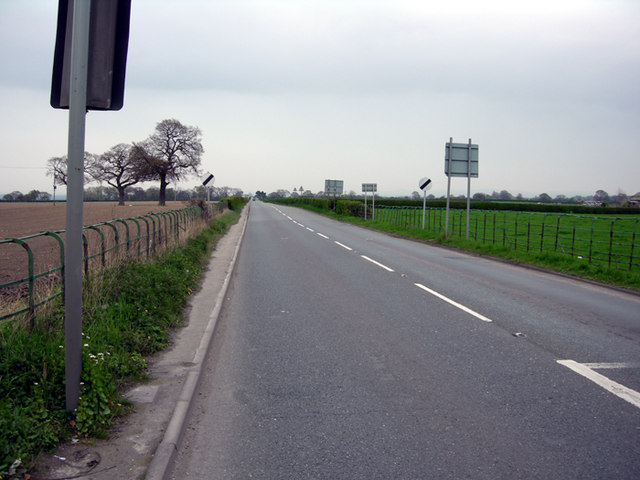
Image: © Bob Shires Taken: 14 Apr 2009
The B5102 locally known as the straight mile going towards the Mount Pleasant public house
Images are licensed for reuse under creativecommons.org/licenses/by-sa/2.0
Image Location
Latitude
53.100551
Longitude
-2.994054