Galmington Road - Taunton
Introduction
The photograph on this page of Galmington Road - Taunton by Nick Chipchase as part of the Geograph project.
The Geograph project started in 2005 with the aim of publishing, organising and preserving representative images for every square kilometre of Great Britain, Ireland and the Isle of Man.

There are currently over 7.5m images from over 14,400 individuals and you can help contribute to the project by visiting https://www.geograph.org.uk
Galmington Road - Taunton
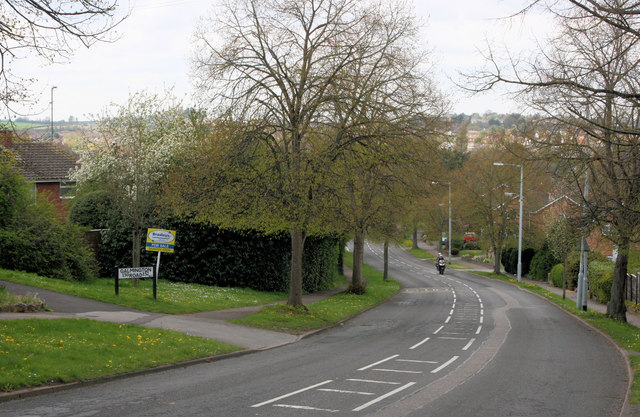
Image: © Nick Chipchase Taken: 13 Apr 2009
Until just after the war this used to be a narrow lane that ended at a ford along the river.
Images are licensed for reuse under creativecommons.org/licenses/by-sa/2.0
Image Location
Latitude
51.00763
Longitude
-3.114699