Crossbush By-Pass
Introduction
The photograph on this page of Crossbush By-Pass by Simon Carey as part of the Geograph project.
The Geograph project started in 2005 with the aim of publishing, organising and preserving representative images for every square kilometre of Great Britain, Ireland and the Isle of Man.

There are currently over 7.5m images from over 14,400 individuals and you can help contribute to the project by visiting https://www.geograph.org.uk
Crossbush By-Pass
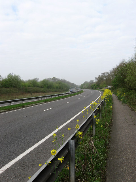
Image: © Simon Carey Taken: 13 Apr 2009
The old route of the A27 would have branched off to the right at the white building just visible beyond the rape plants lining the crash barrier. The new route was the beginning of a full Arundel by-pass that only got as far as the junction with the A284. At present the scheme to take it across the river south of Arundel has been put on hold until 2016 which means another 7 years of notorious bottlenecks and snarl ups.
Images are licensed for reuse under creativecommons.org/licenses/by-sa/2.0
Image Location
Latitude
50.842542
Longitude
-0.522119