B2040 Whitstable Road and footbridge over railway
Introduction
The photograph on this page of B2040 Whitstable Road and footbridge over railway by David Anstiss as part of the Geograph project.
The Geograph project started in 2005 with the aim of publishing, organising and preserving representative images for every square kilometre of Great Britain, Ireland and the Isle of Man.

There are currently over 7.5m images from over 14,400 individuals and you can help contribute to the project by visiting https://www.geograph.org.uk
B2040 Whitstable Road and footbridge over railway
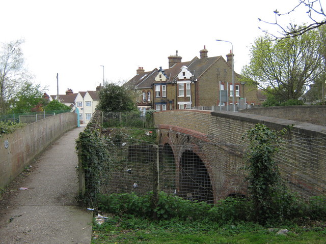
Image: © David Anstiss Taken: 10 Apr 2009
Road bridge (on right) leads from A2 Canterbury Road into Faversham. Footbridge (on left) leads from Love Lane Cemetery into town. Railway under bridge in cutting heads right to Whitstable/Margate from Faversham/London.
Images are licensed for reuse under creativecommons.org/licenses/by-sa/2.0
Image Location
Latitude
51.312235
Longitude
0.904783