The Square
Introduction
The photograph on this page of The Square by Simon Carey as part of the Geograph project.
The Geograph project started in 2005 with the aim of publishing, organising and preserving representative images for every square kilometre of Great Britain, Ireland and the Isle of Man.

There are currently over 7.5m images from over 14,400 individuals and you can help contribute to the project by visiting https://www.geograph.org.uk
The Square
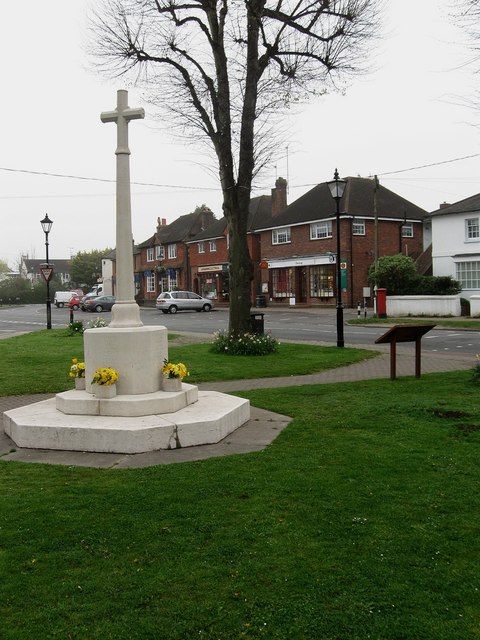
Image: © Simon Carey Taken: 13 Apr 2009
Small village green with a war memorial constructed in 1919. Until the 19th century this area was prone to flooding by a small tributary of the Arun which rose near Patching, travelled down Water Lane, before heading through Angmering at this spot, the green itself becoming a pond in wet weather, then heading out towards Black Ditch before continuing its journey on to the Arun. The stream was culverted and the area then developed and is now the main commercial area of the village.
Images are licensed for reuse under creativecommons.org/licenses/by-sa/2.0
Image Location
Latitude
50.82857
Longitude
-0.484506