The Chalkland Way
Introduction
The photograph on this page of The Chalkland Way by bernard bradley as part of the Geograph project.
The Geograph project started in 2005 with the aim of publishing, organising and preserving representative images for every square kilometre of Great Britain, Ireland and the Isle of Man.

There are currently over 7.5m images from over 14,400 individuals and you can help contribute to the project by visiting https://www.geograph.org.uk
The Chalkland Way
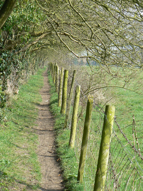
Image: © bernard bradley Taken: 20 Mar 2009
This part of The Chalkland Way is between Pocklington and Kilnwick Percy, adjacent to Kilnwick Percy Golf Course.
Images are licensed for reuse under creativecommons.org/licenses/by-sa/2.0
Image Location
Latitude
53.935156
Longitude
-0.763135