Strip fields, Sr?n Ruadh
Introduction
The photograph on this page of Strip fields, Sr?n Ruadh by Richard Webb as part of the Geograph project.
The Geograph project started in 2005 with the aim of publishing, organising and preserving representative images for every square kilometre of Great Britain, Ireland and the Isle of Man.

There are currently over 7.5m images from over 14,400 individuals and you can help contribute to the project by visiting https://www.geograph.org.uk
Strip fields, Sr?n Ruadh
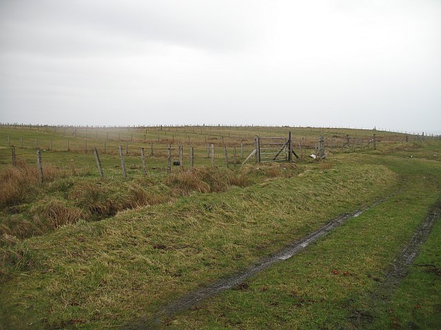
Image: © Richard Webb Taken: 9 Apr 2009
Typical narrow fields extending from a crofting township (Àird Thunga). View from just above the high water mark.
Images are licensed for reuse under creativecommons.org/licenses/by-sa/2.0
Image Location
Latitude
58.240309
Longitude
-6.328532