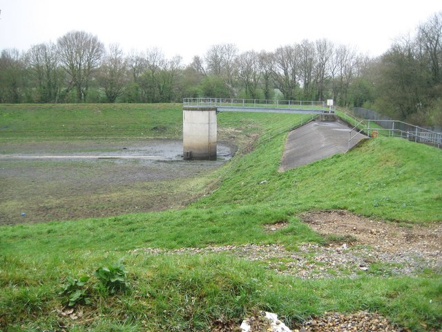
Hemel Hempstead: Cherry Tree Lane Flood Reservoir (1)
Introduction
The photograph on this page of Hemel Hempstead: Cherry Tree Lane Flood Reservoir (1) by Nigel Cox as part of the Geograph project.
The Geograph project started in 2005 with the aim of publishing, organising and preserving representative images for every square kilometre of Great Britain, Ireland and the Isle of Man.
There are currently over 7.5m images from over 14,400 individuals and you can help contribute to the project by visiting https://www.geograph.org.uk

Image: © Nigel Cox Taken: 12 Apr 2009
I have called this a flood reservoir as that is how it is described on a map accompanying a local authority housing development document for the area. In the centre is a valve tower while on the right the concrete spillway would allow excess water to flow out in a controlled manner if the reservoir ever filled to capacity.

