Hemel Hempstead: Punchbowl Lane
Introduction
The photograph on this page of Hemel Hempstead: Punchbowl Lane by Nigel Cox as part of the Geograph project.
The Geograph project started in 2005 with the aim of publishing, organising and preserving representative images for every square kilometre of Great Britain, Ireland and the Isle of Man.

There are currently over 7.5m images from over 14,400 individuals and you can help contribute to the project by visiting https://www.geograph.org.uk
Hemel Hempstead: Punchbowl Lane
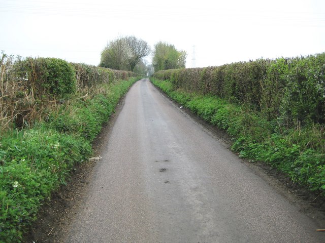
Image: © Nigel Cox Taken: 12 Apr 2009
The lane just clips across the north-western corner of the grid square here, and is viewed looking towards the M1 Motorway bridge.
Images are licensed for reuse under creativecommons.org/licenses/by-sa/2.0
Image Location
Latitude
51.768776
Longitude
-0.419602