Tre-saeson
Introduction
The photograph on this page of Tre-saeson by Natasha Ceridwen de Chroustchoff as part of the Geograph project.
The Geograph project started in 2005 with the aim of publishing, organising and preserving representative images for every square kilometre of Great Britain, Ireland and the Isle of Man.

There are currently over 7.5m images from over 14,400 individuals and you can help contribute to the project by visiting https://www.geograph.org.uk
Tre-saeson
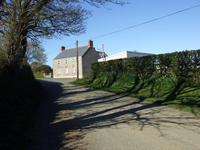
Image: © Natasha Ceridwen de Chroustchoff Taken: 12 Apr 2009
Farm name meaning, in Welsh, 'Place of the English' recalls the period of Norman incursion into this area which lies between the Anglicised south of the county and the solidly Welsh area north of the Landsker. The linguistic mix can be observed in the local place-names.
Images are licensed for reuse under creativecommons.org/licenses/by-sa/2.0
Image Location


Leaflet Map data © OpenStreetMap
Latitude
51.90933
Longitude
-5.050397