National Park Sign, Akeld
Introduction
The photograph on this page of National Park Sign, Akeld by Barbara Carr as part of the Geograph project.
The Geograph project started in 2005 with the aim of publishing, organising and preserving representative images for every square kilometre of Great Britain, Ireland and the Isle of Man.

There are currently over 7.5m images from over 14,400 individuals and you can help contribute to the project by visiting https://www.geograph.org.uk
National Park Sign, Akeld
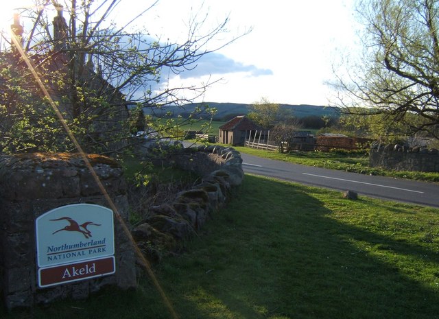
Image: © Barbara Carr Taken: 12 Apr 2009
Easter Sunday in the village of Akeld, looking westerly along the B6351.
Images are licensed for reuse under creativecommons.org/licenses/by-sa/2.0
Image Location
Latitude
55.560873
Longitude
-2.070207