Lower South Farm near Doddershall
Introduction
The photograph on this page of Lower South Farm near Doddershall by Andy Gryce as part of the Geograph project.
The Geograph project started in 2005 with the aim of publishing, organising and preserving representative images for every square kilometre of Great Britain, Ireland and the Isle of Man.

There are currently over 7.5m images from over 14,400 individuals and you can help contribute to the project by visiting https://www.geograph.org.uk
Lower South Farm near Doddershall
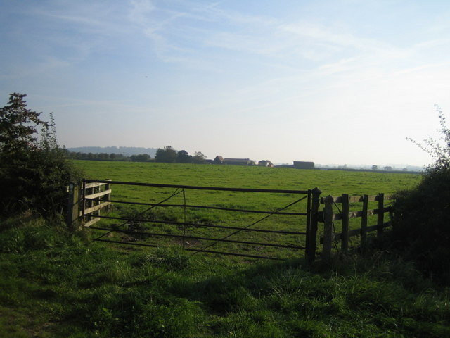
Image: © Andy Gryce Taken: 27 Sep 2008
Looking south from the junction of a bridleway and the unclassified road to Doddershall House, in the middle distance is Lower South Farm, one of the pair of farms shown on the OS 1:50,000 map as South Farms. See also Image The bridleway, which goes to the village of Westcott, runs alongside the wooden fence, and a footpath runs across the field and cuts between the two farms but there is no sign of it. In the far distance to the left is Waddesdon Hill, the location of Waddesdon Manor.
Images are licensed for reuse under creativecommons.org/licenses/by-sa/2.0
Image Location
Latitude
51.868745
Longitude
-0.948426