Adeyfield: Cox's Pond
Introduction
The photograph on this page of Adeyfield: Cox's Pond by Nigel Cox as part of the Geograph project.
The Geograph project started in 2005 with the aim of publishing, organising and preserving representative images for every square kilometre of Great Britain, Ireland and the Isle of Man.

There are currently over 7.5m images from over 14,400 individuals and you can help contribute to the project by visiting https://www.geograph.org.uk
Adeyfield: Cox's Pond
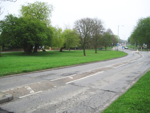
Image: © Nigel Cox Taken: 12 Apr 2009
Now filled in but it was in the green on the left side of the road. Originally there was a Coxpond Farm on the right side of the road, but this was swept away during the construction of Hemel Hempstead New Town in the 1950s. The pond lasted much longer. The road is Leverstock Green Road and in the 1930s and 1940s was the A4147, the A road classification having now passed to Maylands Road to the east.
Images are licensed for reuse under creativecommons.org/licenses/by-sa/2.0
Image Location
Latitude
51.754057
Longitude
-0.441848