The road to Great Bedwyn
Introduction
The photograph on this page of The road to Great Bedwyn by Brian Robert Marshall as part of the Geograph project.
The Geograph project started in 2005 with the aim of publishing, organising and preserving representative images for every square kilometre of Great Britain, Ireland and the Isle of Man.

There are currently over 7.5m images from over 14,400 individuals and you can help contribute to the project by visiting https://www.geograph.org.uk
The road to Great Bedwyn
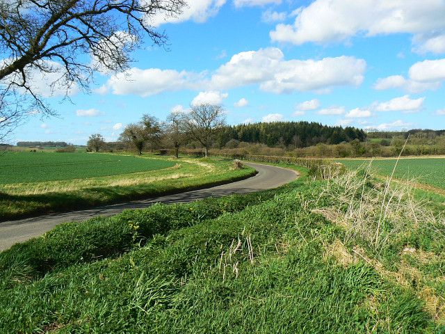
Image: © Brian Robert Marshall Taken: 8 Apr 2009
The road was quiet this afternoon. It reached Great Bedwyn after passing through Jockey Green. The main farming activity in these parts is arable.
Images are licensed for reuse under creativecommons.org/licenses/by-sa/2.0
Image Location
Latitude
51.36685
Longitude
-1.58281