Polskeoch Forest - East
Introduction
The photograph on this page of Polskeoch Forest - East by Chris Newman as part of the Geograph project.
The Geograph project started in 2005 with the aim of publishing, organising and preserving representative images for every square kilometre of Great Britain, Ireland and the Isle of Man.

There are currently over 7.5m images from over 14,400 individuals and you can help contribute to the project by visiting https://www.geograph.org.uk
Polskeoch Forest - East
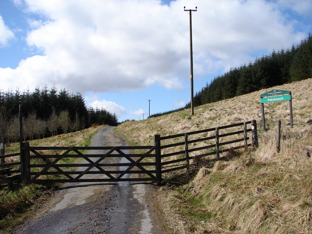
Image: © Chris Newman Taken: 11 Apr 2009
The 10 mile long Scaur Water Glen road enters the Polskeoch Forest between Polgown and Polskeoch, this section of road is shared with the Southern Upland Way long-distance walk.
Images are licensed for reuse under creativecommons.org/licenses/by-sa/2.0
Image Location
Latitude
55.302815
Longitude
-4.053593