Wooded ridge between Rivers Tavy and Walkham
Introduction
The photograph on this page of Wooded ridge between Rivers Tavy and Walkham by Derek Harper as part of the Geograph project.
The Geograph project started in 2005 with the aim of publishing, organising and preserving representative images for every square kilometre of Great Britain, Ireland and the Isle of Man.

There are currently over 7.5m images from over 14,400 individuals and you can help contribute to the project by visiting https://www.geograph.org.uk
Wooded ridge between Rivers Tavy and Walkham
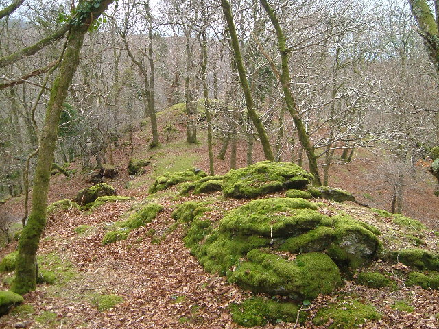
Image: © Derek Harper Taken: 30 Jan 2005
Moss-covered boulders beside the West Devon Way just before it drops down to Double Waters, where the Walkham (below left) joins the Tavy (below right). Looking south-west.
Images are licensed for reuse under creativecommons.org/licenses/by-sa/2.0
Image Location
Latitude
50.509931
Longitude
-4.149299