Farmland below Fron Hen
Introduction
The photograph on this page of Farmland below Fron Hen by John S Turner as part of the Geograph project.
The Geograph project started in 2005 with the aim of publishing, organising and preserving representative images for every square kilometre of Great Britain, Ireland and the Isle of Man.

There are currently over 7.5m images from over 14,400 individuals and you can help contribute to the project by visiting https://www.geograph.org.uk
Farmland below Fron Hen
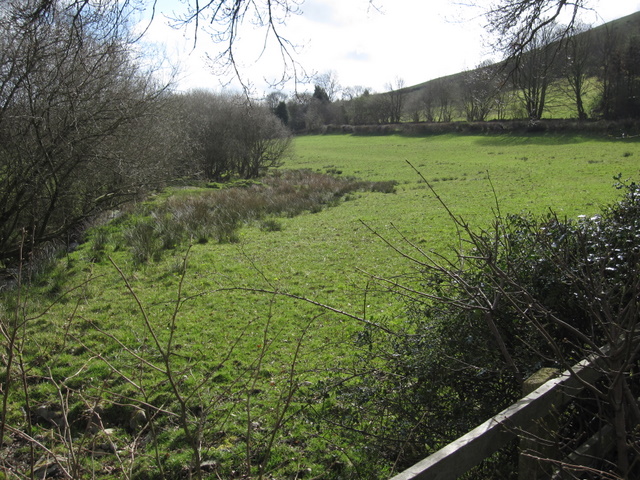
Image: © John S Turner Taken: 8 Apr 2009
Pasture land below Fron Hen and next to the stream that flows down the valley from Bwlch pen Barras.
Images are licensed for reuse under creativecommons.org/licenses/by-sa/2.0
Image Location
Latitude
53.141047
Longitude
-3.230002