Trackway below Fron Hen and view to Moel Eithinen
Introduction
The photograph on this page of Trackway below Fron Hen and view to Moel Eithinen by John S Turner as part of the Geograph project.
The Geograph project started in 2005 with the aim of publishing, organising and preserving representative images for every square kilometre of Great Britain, Ireland and the Isle of Man.

There are currently over 7.5m images from over 14,400 individuals and you can help contribute to the project by visiting https://www.geograph.org.uk
Trackway below Fron Hen and view to Moel Eithinen
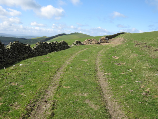
Image: © John S Turner Taken: 8 Apr 2009
Looking along the old trackway below Fron Hen with a view of Moel Eithinen in the distance. Moel Eithinen is the prominent one with the shelter belt of trees on its southern slopes.
Images are licensed for reuse under creativecommons.org/licenses/by-sa/2.0
Image Location
Latitude
53.131806
Longitude
-3.228243