View across pasture land towards the wetland flat east of Mynachdy
Introduction
The photograph on this page of View across pasture land towards the wetland flat east of Mynachdy by Eric Jones as part of the Geograph project.
The Geograph project started in 2005 with the aim of publishing, organising and preserving representative images for every square kilometre of Great Britain, Ireland and the Isle of Man.

There are currently over 7.5m images from over 14,400 individuals and you can help contribute to the project by visiting https://www.geograph.org.uk
View across pasture land towards the wetland flat east of Mynachdy
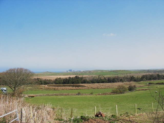
Image: © Eric Jones Taken: 2 Apr 2009
The pasture land occupies drier sections above the valley floor wetlands. A pond and a shelter belt form features of the wetland.
Images are licensed for reuse under creativecommons.org/licenses/by-sa/2.0
Image Location
Latitude
53.396872
Longitude
-4.54414