The Poachers Pocket Public House
Introduction
The photograph on this page of The Poachers Pocket Public House by Geographer as part of the Geograph project.
The Geograph project started in 2005 with the aim of publishing, organising and preserving representative images for every square kilometre of Great Britain, Ireland and the Isle of Man.

There are currently over 7.5m images from over 14,400 individuals and you can help contribute to the project by visiting https://www.geograph.org.uk
The Poachers Pocket Public House
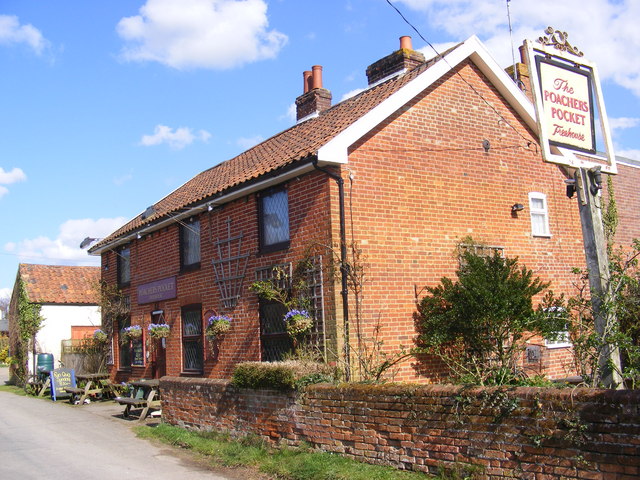
Image: © Geographer Taken: 8 Apr 2009
In Rosemary Lane Previously known as:New Inn Recorded as the New Inn in the 1881 and 1891 censuses and shown under that name on OS maps at least as late as 1927
Images are licensed for reuse under creativecommons.org/licenses/by-sa/2.0
Image Location
Latitude
52.229161
Longitude
1.482203