Semi-detached period houses along Wellington Road, Coalbrookdale
Introduction
The photograph on this page of Semi-detached period houses along Wellington Road, Coalbrookdale by Anji Carrier as part of the Geograph project.
The Geograph project started in 2005 with the aim of publishing, organising and preserving representative images for every square kilometre of Great Britain, Ireland and the Isle of Man.

There are currently over 7.5m images from over 14,400 individuals and you can help contribute to the project by visiting https://www.geograph.org.uk
Semi-detached period houses along Wellington Road, Coalbrookdale
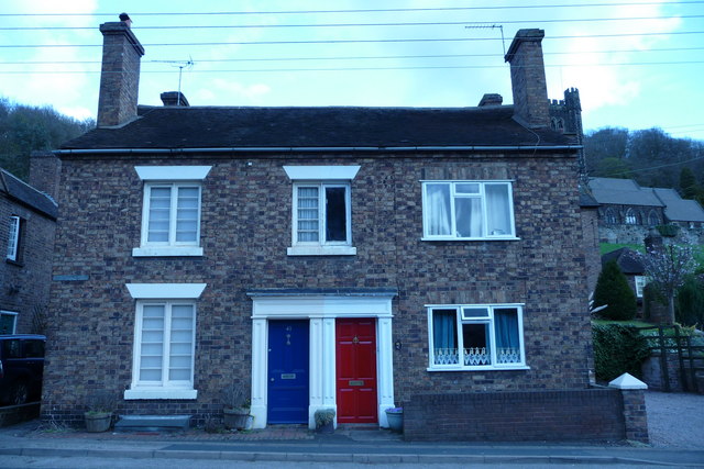
Image: © Anji Carrier Taken: 5 Apr 2009
This pair of semi-detached period houses are just in front of the Foundry Masters House Image and starkly illustrate the need for Conservation Areas. Not sure of the date of the establishment of the area here, so I wonder did this happen before the CA designation? What a shame, I wish this 'modernisation' had not happened and could be corrected.
Images are licensed for reuse under creativecommons.org/licenses/by-sa/2.0
Image Location
Latitude
52.636785
Longitude
-2.489362