Rundlestone
Introduction
The photograph on this page of Rundlestone by Anton Ciritis as part of the Geograph project.
The Geograph project started in 2005 with the aim of publishing, organising and preserving representative images for every square kilometre of Great Britain, Ireland and the Isle of Man.

There are currently over 7.5m images from over 14,400 individuals and you can help contribute to the project by visiting https://www.geograph.org.uk
Rundlestone
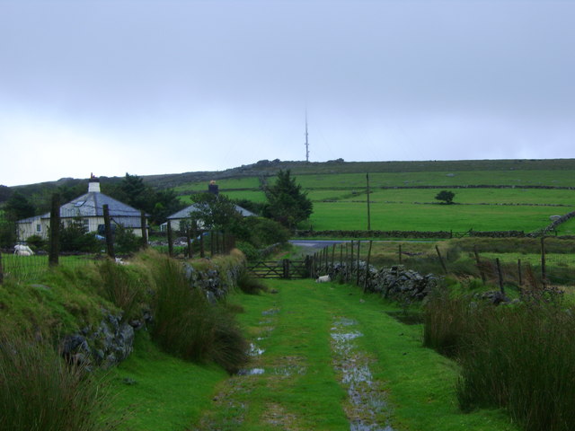
Image: © Anton Ciritis Taken: 12 Aug 2008
Just a couple of buildings at Rundlestone situated on B3357, North Hessary Tor TV mast on skyline.
Images are licensed for reuse under creativecommons.org/licenses/by-sa/2.0
Image Location


Leaflet Map data © OpenStreetMap
Latitude
50.557313
Longitude
-4.014503