Muddy stream
Introduction
The photograph on this page of Muddy stream by Bill Nicholls as part of the Geograph project.
The Geograph project started in 2005 with the aim of publishing, organising and preserving representative images for every square kilometre of Great Britain, Ireland and the Isle of Man.

There are currently over 7.5m images from over 14,400 individuals and you can help contribute to the project by visiting https://www.geograph.org.uk
Muddy stream
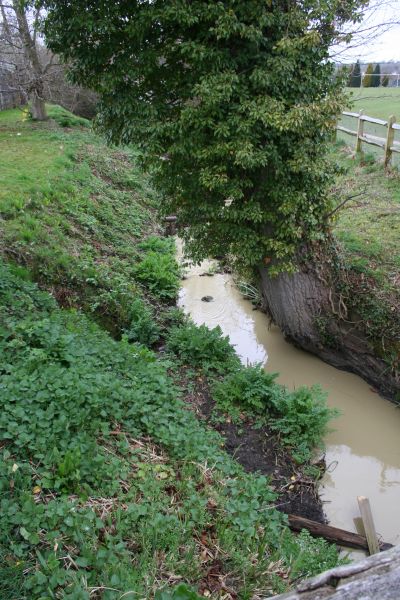
Image: © Bill Nicholls Taken: 28 Mar 2009
This stream was clear the last time I was here now the work going on has caused it to go muddy.
Images are licensed for reuse under creativecommons.org/licenses/by-sa/2.0
Image Location
Latitude
50.950383
Longitude
-0.460616