10-12 Coventry Road
Introduction
The photograph on this page of 10-12 Coventry Road by Keith Williams as part of the Geograph project.
The Geograph project started in 2005 with the aim of publishing, organising and preserving representative images for every square kilometre of Great Britain, Ireland and the Isle of Man.

There are currently over 7.5m images from over 14,400 individuals and you can help contribute to the project by visiting https://www.geograph.org.uk
10-12 Coventry Road
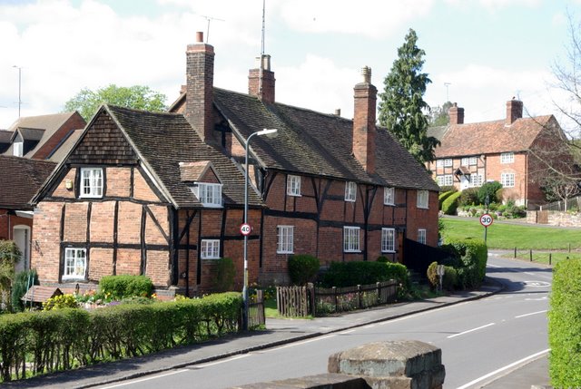
Image: © Keith Williams Taken: 8 Apr 2009
Parts of these houses date to the 16th century.
Images are licensed for reuse under creativecommons.org/licenses/by-sa/2.0
Image Location
Latitude
52.351375
Longitude
-1.515764