Kirkmichael Primary School
Introduction
The photograph on this page of Kirkmichael Primary School by Lis Burke as part of the Geograph project.
The Geograph project started in 2005 with the aim of publishing, organising and preserving representative images for every square kilometre of Great Britain, Ireland and the Isle of Man.

There are currently over 7.5m images from over 14,400 individuals and you can help contribute to the project by visiting https://www.geograph.org.uk
Kirkmichael Primary School
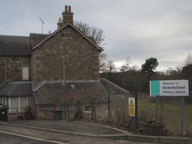
Image: © Lis Burke Taken: 18 Feb 2006
The school and its playing fields are next to the bridge over the river Ardle.
Images are licensed for reuse under creativecommons.org/licenses/by-sa/2.0
Image Location
Latitude
56.722551
Longitude
-3.506559